High-Resolution Satellite Imagery on the SpyMeSat App
Satellite imageries are the earth images or those of other planets that are gathered by imaging satellites which are mainly operated by governments and business entities around the world. Governments and business entities such as google maps get licensed to these images by the satellite imaging companies. For greater detail and accuracy of images, high resolution satellite imagery is the best.
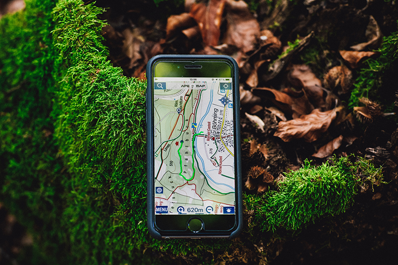
SpyMeSat App
This is the only available mobile app that can perform the following functions;
- Ability to request new tasking
- Notify when an imaging satellite could take a picture
- Offer access to archives of satellite imagery on-demand
Through this app, a new satellite picture can be taken directly from a device such as mobile and in any location. The app has an added feature giving it the ability to preview and buy the latest commercial satellite resolution of the highest resolution at any location. This is made possible through an easy and cheap process of in-app purchases.

High-Resolution photos
SpyMeSat app users are also given on-demand access to the latest commercial and high-resolution satellite imagery that is available. The images provided are usually through agreements with digital globe, planet, and KOMPSAT. Their prices depend on size, age, and resolution. A low-resolution version of these images has the highest quality. Moreover, adherence to licensing restrictions on the app is advised for the users.
World’s Longest Selfie Stick
This is a new tasking feature on the app which enables its users to make requests on an imaging satellite to take a new picture on any location of the earth. Several satellites are provided with varying prices, capabilities, and their responsiveness. The tasking feature also gives a provision for a regular status update that includes notification on prior imaging time. This enables users to get the exact time for imaging a space selfie.
Real-Time Imaging Satellite Tracking
The SpyMeSat app usually provides information when satellites are overhead and not when one can see the satellite, but when the satellite itself can see you. The app provides overflight notifications on the imaging satellite for the user’s current location and choice of the location. One is also able to make configurations on the notifications to choose by the resolution, by satellite or by the image phenomenon. For preference, the types of notification and their timing can be adjusted. Data which is real-time is provided during overflights and includes location and real-time, which is based on the resolution of the images. This notification can work with no data connection network.
The SpyMeSat mobile app is the best solution for a quick, less risky, and cost-friendly way of having high-resolution satellite imagery.